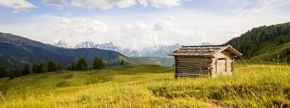
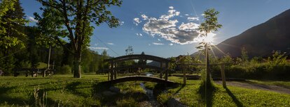
Circular trail „zu Adlitzhausen“

Val Casies Valley - Monguelfo - Tesido
Add to favourites
Difficulty
Easy
Duration
0:56
in hours
Distance
3.4
in km
Status
closed
Suggested period
Jan
Feb
Mar
Apr
May
Jun
Jul
Aug
Sep
Oct
Nov
Dec

Circular trail „zu Adlitzhausen“
For young and old

Starting point: Tesido Brückenwirt (Bridge) (1190m)
Length of the tour: 3,5 km
Circular hiking tour
Duration:
01:00
Difficulty: easy
Difference in altitude: 70 m

Route data
Easy
Distance
3,4 km
Duration
56 min
Ascent
79 m
Decent
79 m
Technical skills
Physical condition
Scenary
Highest point
1.252 m
Lowest point
1.183 m
Directions

By following the orange sign nearby Brückenwirt in Tesido along the river of Val Casies Valley (1190, no refreshment possibility). After 1 km you want to cross the street, passing the strawberry plantation, take the path Talblickweg and return to the starting point.

public transportation
Bus & train timetable: www.suedtirolmobil.info.
How to get there

Arrival by public transport

From Monguelfo:

  • By regional train (no. 400) to Monguelfo/Welsberg.
  • From Monguelfo by bus (no. 441) to the bus stop: Tesido/Prati di Tesido or with the Citybus (no. 438) to the bus stop: Tesido/Brückenwirt.

From the Val Casies Valley:

  • By bus (no. 441) to the bus stop: Tesido/Prati di Tesido
  •  

Info: The Guestpass Holidaypass entitles the holder to the unlimited use of all public transportation (including regional rail travel) in all of South Tyrol-Südtirol throughout the entire year. You will receive the travel pass free of charge from your accommodations if they are a member of the Tourist Board Val Casies-Monguelfo-Tesido.

>See here for the bus & train timetable

Where to park
Parking space available.
You might be interested in
Discover related tours
Brunst hut | © Kottersteger, Olang
Intermediate
Add to favourites
Val Casies Valley - Monguelfo - Tesido
Hiking Tour Valdaora/Olang
Distance 15,1 km
Duration 5 h 18 min
Ascent 1.207 m
Decent 1.213 m
Tolder Hütte | © TV Gsieser Tal_Kamilla Photography, Gsieser Tal–Welsberg–Taisten
Intermediate
Add to favourites
Val Casies Valley - Monguelfo - Tesido
The Tolder Hütte hut in the Val Casies Valley (1942m)
Distance 4,6 km
Duration 2 h 13 min
Ascent 657 m
Decent 0 m
Stumpfalm | © Stumpfalm, Gsieser Tal–Welsberg–Taisten
Intermediate
Add to favourites
Val Casies Valley - Monguelfo - Tesido
The Stumpfalm hut in the Val Casies Valley (2000m)
Distance 5,1 km
Duration 2 h 00 min
Ascent 0 m
Decent 539 m
"Gsieser Almweg 2000" | © TV Gsieser Tal_Harald Wisthaler, Gsieser Tal–Welsberg–Taisten
Intermediate
Add to favourites
Val Casies Valley - Monguelfo - Tesido
The “Almweg 2000” trail in the Val Casies Valley
Distance 48,4 km
Duration 15 h 18 min
Ascent 2.590 m
Decent 2.793 m
Val Casies Valley - Monguelfo - Tesido
Strolling from farm to farm in the Val Casies Valley
Distance 9,6 km
Duration 2 h 37 min
Ascent 171 m
Decent 171 m
Val Casies Valley - Monguelfo - Tesido
The Moos Alm hut in Val Casies Valley (1477m)
Distance 0,8 km
Duration 12 min
Ascent 11 m
Decent 6 m